Shell Key Preserve Paddleboard Guide: Flats, Mangrove Tunnels & Low Tide Navigation
1,800+ acres of barrier-island flats, white-sand beaches, and winding mangrove tunnels just west of Tierra Verde — but time the tides wrong and Shell Key will leave you dragging through the muck. Here's the complete launch, route, and tide guide.
Robby Thurston
The Mangrove Dispatch
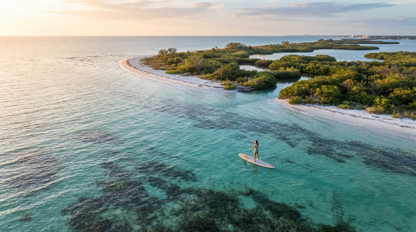
Spanning over 1,800 acres of pristine barrier-island ecosystems, Shell Key Preserve is one of the most stunning backcountry paddling destinations in Pinellas County. Located just west of Tierra Verde, it offers crystal-clear gulf waters, secluded white-sand beaches, and winding mangrove tunnels. But paddling here requires a healthy respect for one major factor: the tides.
Crucial local warning: the low-tide trap
If you time your paddle wrong, Shell Key will test your patience. Around 95% of the preserve consists of shallow seagrass flats that average just two feet of water or less.
- The receding flats: when the tide drops, those expansive flats empty out for what feels like miles. You can easily find yourself stepping off your paddleboard and dragging it through ankle-deep, squishy muck and exposed sandbars for a very long way if you get caught at a dead low
- The strategy: always check your NOAA tide charts before heading out. Aim to paddle out on a mid-to-high incoming tide so you have plenty of water cushion over the flats. If you get caught out at low tide, stick strictly to the deeper channels and stay off the interior flats
Quick launch logistics & parking
The most popular public launch for self-powered paddlers is off the Pinellas Bayway South, near Tierra Verde and the toll plaza area, where locals pull off to access the protected backcountry side.
Need gear? If you need to pick up an iSUP or grab equipment before heading down the Bayway, you can check out local gear options at Jack's Shack | Paddle Board Rentals.
- Parking: along the Bayway launch it's primarily unpaved shoulder/grass parking — arrive early on weekends, as spots fill fast with local paddlers and tour groups
- Hours: preserve is open daylight hours; plan to be off the water well before dark
The route & mangrove trails
From the Bayway launch, it's a straightforward paddle west across the shallow preserve flats toward the island. On a high tide, you can navigate the hidden, shaded mangrove tunnels on the interior side — just remember: if the water is dropping, those tunnels become impassable very quickly.
- Distance: short crossing to the island, but the flats invite hours of exploration on a high tide
- Skill level: great for recreational paddleboarding, but requires intermediate awareness of changing water levels and wind exposure across the open flats
Wildlife & island environment
Because vehicle access is entirely prohibited, Shell Key remains a sanctuary for coastal wildlife. As you paddle the edges, keep your eyes open for:
- Dolphins & manatees — frequently spotted cruising the clear channels and deeper pockets around the island's edges
- Shorebirds & nesting zones — watch for protected bird-nesting boundaries posted along sections of the island; keep your distance and respect all wildlife signage