Weedon Island Preserve: The Complete Launch Guide
Everything you need for a clean paddle at the preserve — parking, the trail map, and the one mistake every first-timer makes.
Diego Marin
The Mangrove Dispatch
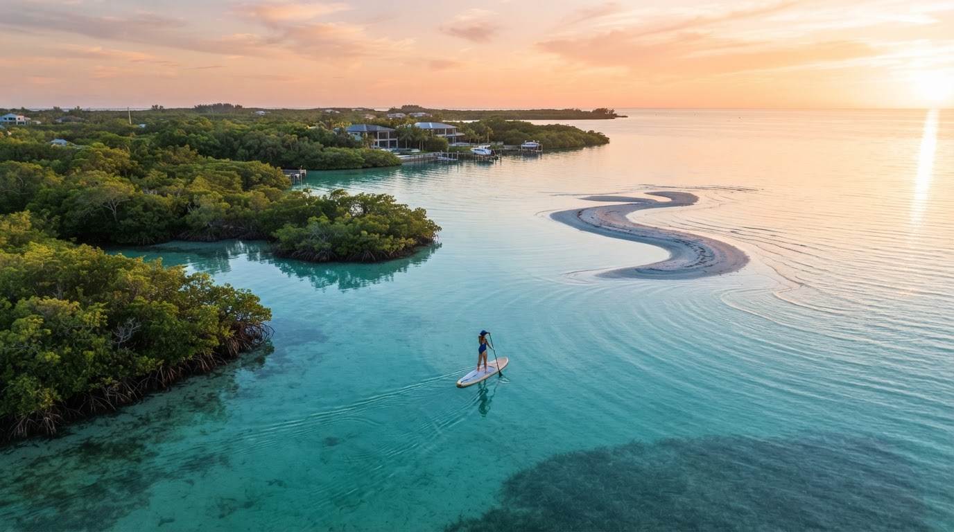
Weedon Island is the launch most St. Pete paddlers return to. The preserve paddling trail is the headline; the ease of the put-in is why it sticks. Here's the complete field guide.
Getting there and parked
The canoe launch sits off Weedon Drive NE. Parking is free and there's a staging area, but the lot is small — arrive before 9am on weekends or expect to wait for a spot. There is a trailer lot and a car lot; board cars use the car lot.
- Address: 1800 Weedon Dr NE, St. Petersburg
- Parking: free, ~25 car spots
- Put-in: sandy beach launch, easy carry
- Restrooms: yes, at the preserve center
The trail map, simplified
Two loops, North and South, both marked with numbered posts. The South Loop is the classic first paddle — tighter tunnels, more shade, easier navigation. The North Loop opens into wider salt ponds and is better for wildlife on a calm morning.
"The one mistake every first-timer makes: launching on a hard outgoing tide and getting stuck in a tunnel too shallow to paddle through. Check the tide chart before you go."
Carry the paper trail map from the kiosk, a dry bag, and water. Phone signal dies inside the tunnels, and a wrong turn on the North Loop adds a mile you didn't plan for. Go early, go calm, and Weedon rewards every paddle.